
Whitchurch-Stouffville Atmospheric Outlook
Automated meteorological observations and Environment Canada forecasts for Whitchurch-Stouffville. Updated Nov 10, 12:00 a.m. ET.
Mainly cloudy. Wind northwest 30 km/h gusting to 50. High 15. UV index 1 or low.
Mostly Cloudy
Observed Nov 10, 12:00 a.m. ET
Station: Toronto City Centre Airport
Elevation and Lake Offset
Uxbridge West: 322 m. Reading is 3.1°C cooler than Burlington Pier on Lake Ontario.
WSW (250°)
Humid
Excellent Range
Lowest reported layer
24-Hour High-Resolution Meteogram
The hourly forecast is temporarily unavailable.
7-Day Extended Meteorological Outlook
Forecast for Markham, the nearest Environment Canada location to Whitchurch-Stouffville.
Today
CurrentMainly cloudy
Wednesday
Chance of showers
Thursday
Chance of showers
Friday
Chance of rain showers or flurries
Saturday
Chance of rain showers or flurries
Sunday
Chance of showers
Observatory Temperature & Gradient Comparison
Latest hourly readings from Environment Canada stations, inland to the Lake Ontario shore.
| Observatory Station | Elev. | Temp | Wind Vector | Relative RH | Setting |
|---|---|---|---|---|---|
| King City North | 362 m | 5°C | SSW 4 km/h | 95% | Inland ridge |
| Toronto Pearson Airport | 173 m | 7°C | SSW 8 km/h | 77% | Urban plain |
| Toronto City | 114 m | 8°C | – | 75% | Downtown core |
| Billy Bishop Airport | 77 m | 7°C | SW 15 km/h | 87% | Lake Ontario island |
| Burlington Pier | 79 m | 9°C | SSW 10 km/h | 73% | Lakeshore |
| Oshawa Airport | 140 m | 8°C | WSW 8 km/h | 78% | East shore plain |
Solar & Lunar Ephemeris
Waxing Crescent
1% Illumination • Moonset: 5:21 PM
Data Source: Environment and Climate Change Canada
Observations and forecasts from the Meteorological Service of Canada, shown as published and possibly out of date. Licence. Sun and moon times are IGTA's calculation and approximate. IGTA is not affiliated with or endorsed by Environment and Climate Change Canada. This is not a warning service.
Whitchurch-Stouffville weather
Mainly cloudy. Wind northwest 30 km/h gusting to 50. High 15. UV index 1 or low.
322m elev • -3.1°C vs lake
Observed Nov 10, 12:00 a.m. ET
24-Hour Diurnal Trajectory
The hourly forecast is temporarily unavailable.
7-Day Synoptic Progression
Radar Mosaic
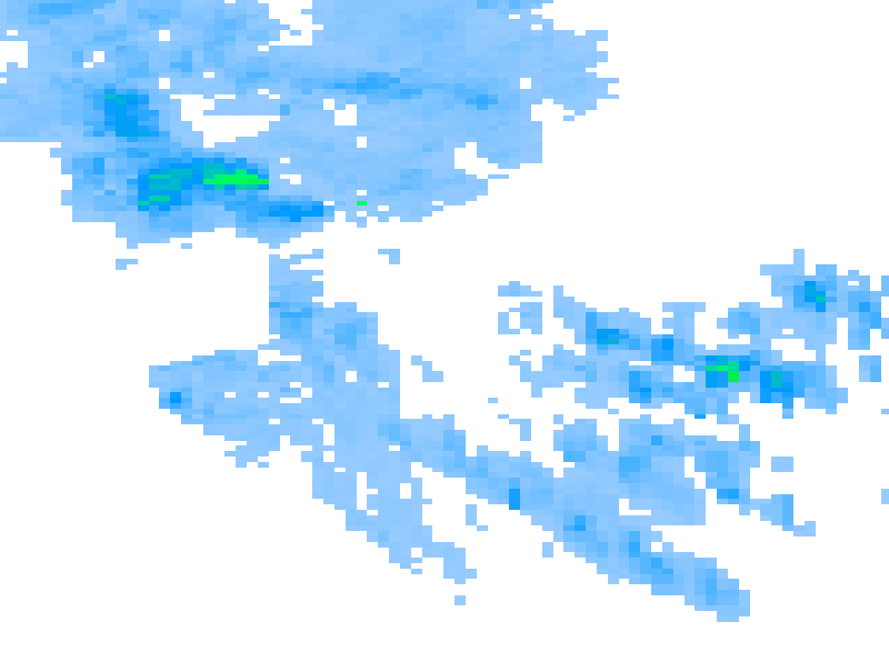
Data Source: Environment and Climate Change Canada. Licence. Shown as published and may be out of date. This is not a warning service. IGTA is not affiliated with or endorsed by Environment and Climate Change Canada.